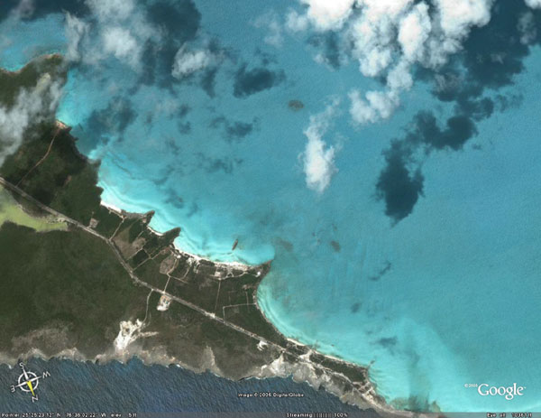
You’ve gotta see Google Earth. It is genuinely amazing. And it’s free. Download it here. You can manually zoom in (from space) all the way to a real aerial view of TMC. Also, navigate your way over to the aerial view of Oak Manor / Cornerstone. Both buildings together make a pretty cool shape. A dorm shirt idea is forming…
Google Earth – Explore, Search and Discover
Want to know more about a specific location? Dive right in — Google Earth combines satellite imagery, maps and the power of Google Search to put the world’s geographic information at your fingertips.
|
|
|
|
|
|
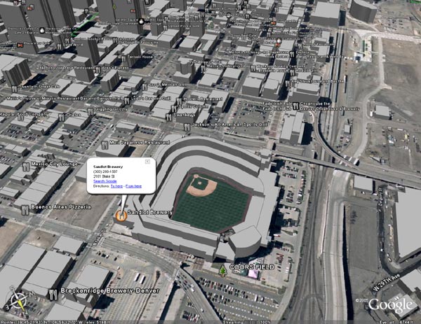
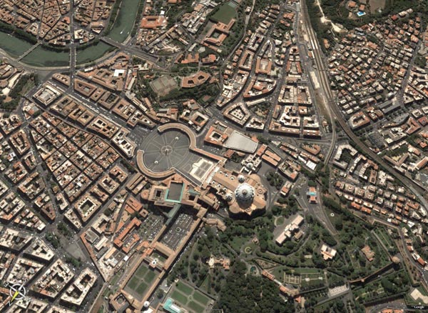
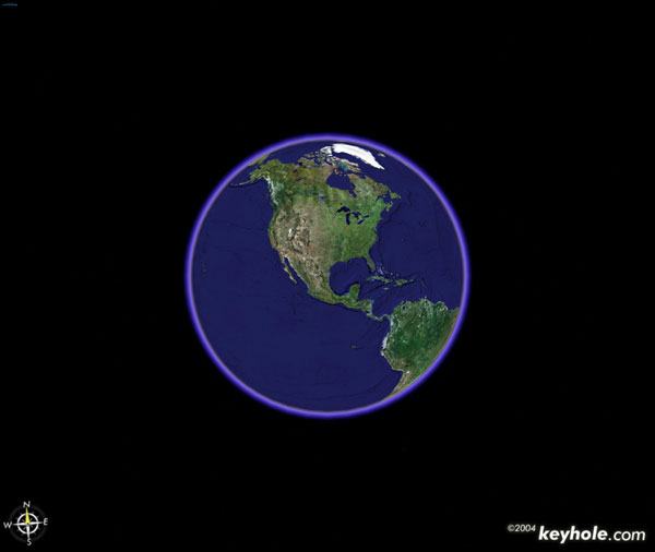
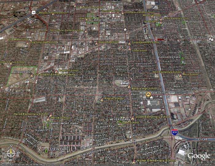
| Fly from space to your neighborhood. Type in an address and zoom right in. | ||
| Search for schools, parks, restaurants, and hotels. Get driving directions. | ||
| Tilt and rotate the view to see 3D terrain and buildings. | ||
| Save and share your searches and favorites. Even add your own annotations. |


Hi All Experts,
Does anyone use google earth images as ground image planes for use in aerial scenes. I know how to stitch them together but are there any tools or tricks to make sure that the images are at the same height, angle and such to make sure they stitch well. I know in the pro version you can get bigger images but im not going to pay for the pro version when i could stitch multiple images together…